Our ultimate goal is to help people understand their environment. We plan to collect, analyze and visualize data in various domains.
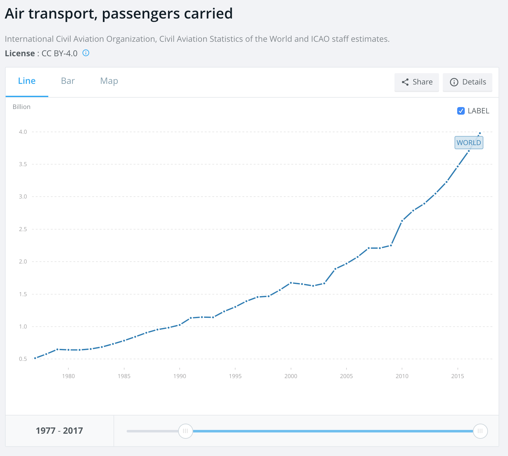
We are going to start with Air transport. Aviation is an important human activity on Earth. The current traffic doubles every 15 years, and it has a significative impact on climate change.
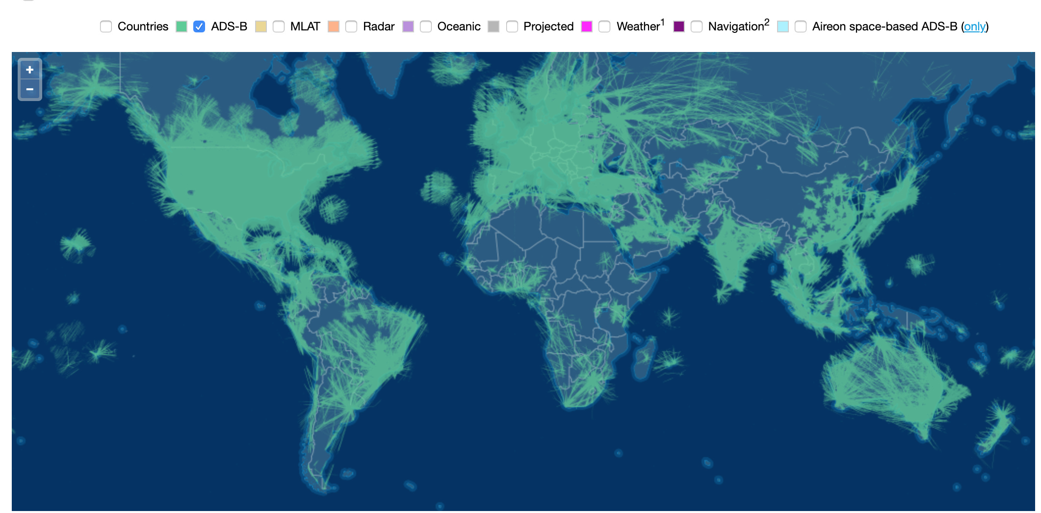
The collection of data is not very complicated. Airplanes send messages about their position, speed, altitude using an open protocol (ADS-B).
It is possible to retrieve and store this information using low-cost hardware. A lot of websites use this technique to propose immediate spotting of airplanes positions.
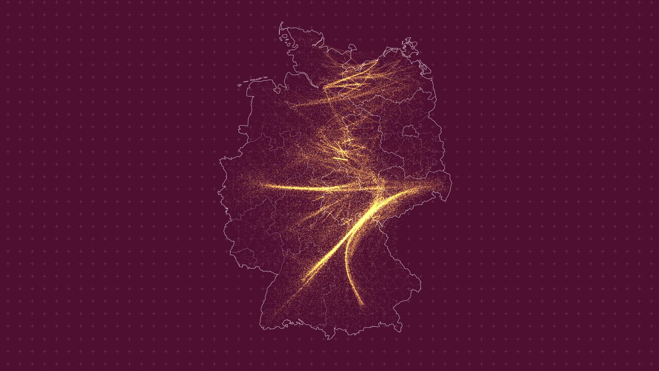
We will not propose the same display than these websites. Our focus is to analyze and provide statistical pieces of information.
Before having access to the whole world traffic, we’ll start by airport visualizations based on what we can collect with a few antennas on a local area. We’ll expand the type of visualizations when we have more contributors.
Don’t hesitate to suggest ideas about what you would like to view.


